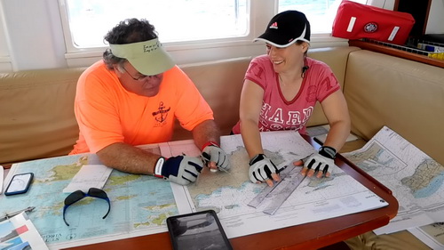
Students Navigating
A big part of what we do in our Caribbean Adventure Learning course is Navigation. Some of the skills students learn are how to navigate using dead reckoning, how to plot a position by taking bearings on two objects, and doing a running fix. We check our work using the GPS to see how close we got. It’s really satisfying when you plot a DR position 5nm away, and end up getting within half a mile of it; and they were using nothing but a compass, knot log, and charts.

Here’s Knox and Canay at work while we sail from St John to St Croix
